The Town of Qualicum Beach
|
The Town of Qualicum Beach supplies water to approximately 4,000 water meters in the Town.
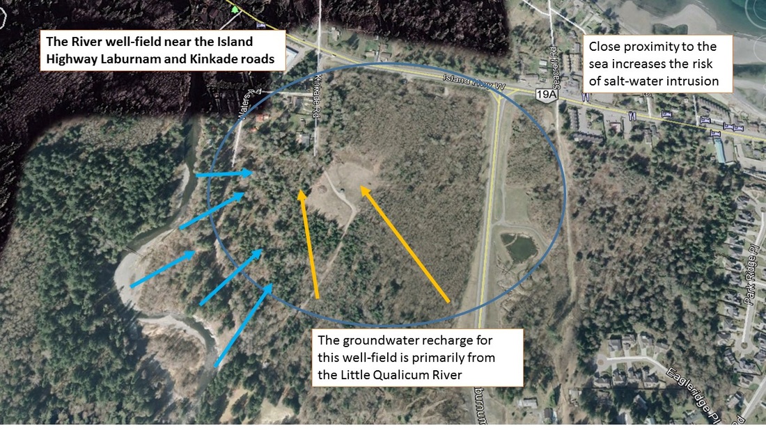
The water is pumped from 2 well fields within the town boundaries, the River well-field near Kinkade Rd and the Berwick well-field near Berwick Rd. and Rupert Rd. The well water is disinfected using ultra-violet and a secondary chlorine application. Qualicum Beach is a quaint and unique coastal community that offers natural recreation, an enjoyable and relaxed lifestyle, a temperate climate and a supportive community. |

|

This links to the Town of Qualicum Beach’s water system website.
The site has information about water supply and distribution, treatment, sampling and testing etc. Please click drip
http://www.qualicumbeach.com/cms.asp?wpID=665
The site has information about water supply and distribution, treatment, sampling and testing etc. Please click drip
http://www.qualicumbeach.com/cms.asp?wpID=665
|
River well-field
Berwick well field


Alternative Options
To link to a presentation I made to Qualicum Beach Council, in 2012 proposing alternative options for future water sources from upland storage. Please click drip
|
The groundwater recharge for the River well-field is primarily from the Little Qualicum River which is supplied from the Cameron River watershed, Cameron Lake and the Little Qualicum River watershed that include Whiskey and Kinkade Creeks.
The Berwick well field is located near the new fire hall next to the traffic circle on Memorial and has a major highway and intersection within the catchment area. Problems that could occur with the supply source could include the risk of contamination in the watersheds or a highway spill leaching to the well field. The close proximity of the river well field to the Straits could cause salt water to intrude the well field area, particularly during drought conditions 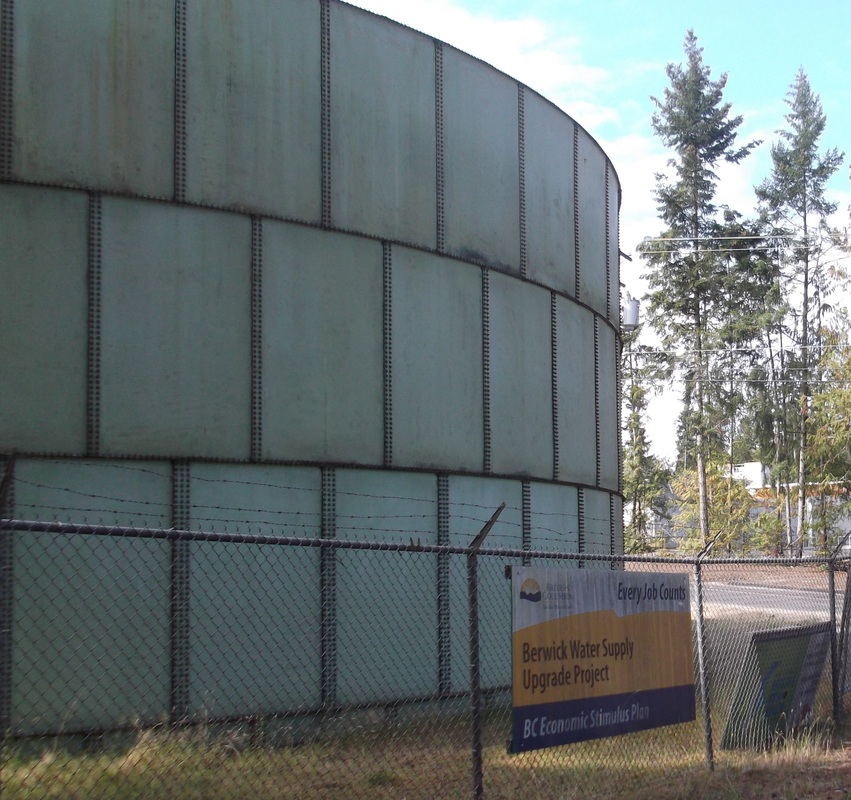
The groundwater is pumped from the well fields to 1 of 3 reservoirs located on: Jones ST, Berwick, or Village Way. Gravity feeds the water into the distribution system.
| ||
Waterfront improvement concepts |
Tree Management In Qualicum BeachThe issue of tree management has been discussed for many years in Qualicum Beach.
Click below for more information.
| ||