Our Oceanside Water
  • Home
  • Facts/Stats
    • Local Tide Guide
    • Terminology
    • History of Our Water Use
    • Water Quantity
    • Water Quality >
      • Existing contamination risks
    • Water Source Protection
    • Water Testing
    • Education
    • Private Wells
  • Our Community's Water
    • Upland storage a better option
    • City Of Parksville
    • Town Of Qualicum Beach >
      • Qualicum Waterfront
    • RDN Electoral Areas F, G, H
    • Englishman River System
    • Englishman River Water Service >
      • New Water Treatment Plant Aquifer Storage
      • Water Treatment Questions
      • Arrowsmith Lake
      • Other Water Supply Options
      • The Clay Banks
    • Other Private Utilities
  • Environmental Topics
    • Our Land
    • Estuaries
    • Watersheds/ Rivers and Creeks/ Lakes / Wetlands
    • Our Climate
    • Groundwater
    • Groundwater Levels
    • Hydrology
  • Water Related Subjects and Links
    • Englishman River Estuary
  • Water Management/Governance
  • Groundwater Licencing
  • Opinion Blog
  • ContactMe
  • About the Authors
    • NAVIGATION
  • Hydrologic Impact Zone
  • Evapotranspiration Potential
  • 26,000 Days
  • Home Draft
  • Urban Water Waste

Our Land

Designated under the provincial Wildlife Act in 1993 and expanded in 2001, the Parksville-Qualicum Beach
Wildlife Management Area (P-QBWMA) encompasses 1024 ha (2,529 acres) of coastal foreshore, estuary
and river habitat between Craig Bay and the Little Qualicum River on southeast Vancouver Island.
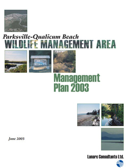
​Here is a link to the Parksville-Qualicum Wildlife Area Management Plan
Picture
Picture


​Parksville-Qualicum Wildlife Area Management Plan

Home

About

Blog

Contact

Written by Trevor Wicks